Von Loki hochgeladene Dateien
Zur Navigation springen
Zur Suche springen
Diese Spezialseite listet alle hochgeladenen Dateien auf.
| Datum | Name | Vorschaubild | Größe | Beschreibung | Versionen |
|---|---|---|---|---|---|
| 22:29, 21. Apr. 2012 | Karte ADL layer-locations-arkobloecke.png (Datei) |  |
6 KB | {{Karteninfo |LIZENZ=Public Domain |AUSSCHNITT=5° oestl. Laenge, 16° oestl. Laenge, 46.75° noerdl. Breite, 55.45° noerdl. Breite |PROJEKTION=Equirektangular-Projektion, Standard-Longitude: 0° oestl. Laenge, latitude of true scale: 51° noerdl. Breite | 1 |
| 21:39, 21. Apr. 2012 | Wappen Westphalen.png (Datei) |  |
82 KB | 2 | |
| 21:39, 21. Apr. 2012 | Wappen Sachsen.png (Datei) |  |
70 KB | 2 | |
| 21:37, 21. Apr. 2012 | Wappen Thüringen.png (Datei) |  |
97 KB | 2 | |
| 21:36, 21. Apr. 2012 | Wappen Franken.png (Datei) |  |
21 KB | 2 | |
| 21:34, 21. Apr. 2012 | Wappen Westrhein-Luxemburg.png (Datei) |  |
181 KB | 2 | |
| 21:33, 21. Apr. 2012 | Wappen Berlin.png (Datei) |  |
30 KB | 2 | |
| 21:32, 21. Apr. 2012 | Württemberg.png (Datei) |  |
35 KB | 2 | |
| 21:31, 21. Apr. 2012 | Wappen Hamburg.png (Datei) |  |
38 KB | 2 | |
| 21:31, 21. Apr. 2012 | Wappen Brandenburg.png (Datei) |  |
162 KB | 2 | |
| 21:30, 21. Apr. 2012 | Wappen von Bayern.PNG (Datei) |  |
100 KB | 3 | |
| 21:29, 21. Apr. 2012 | Wappen Badisch-Pfalz.png (Datei) |  |
40 KB | 2 | |
| 21:29, 21. Apr. 2012 | Nordrhein-Ruhr.png (Datei) |  |
38 KB | 2 | |
| 21:28, 21. Apr. 2012 | Norddeutscher Bund.png (Datei) |  |
114 KB | 2 | |
| 21:27, 21. Apr. 2012 | Groß-Frankfurt.png (Datei) |  |
164 KB | 2 | |
| 21:24, 21. Apr. 2012 | Karte ADL layer-wappen.png (Datei) |  |
116 KB | {{Karteninfo |COPYRIGHT={{Copyright-Hinweis|INHABER={{Copyright|pegasus}}|JAHR=?}} |AUSSCHNITT=5° oestl. Laenge, 16° oestl. Laenge, 46.75° noerdl. Breite, 55.45° noerdl. Breite |PROJEKTION=Equirektangular-Projektion, Standard-Longitude: 0° oestl. Lae | 1 |
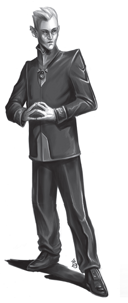
| 19:42, 21. Apr. 2012 | Ehran der Schreiber.PNG (Datei) |  |
96 KB | 2 | |
| 19:35, 21. Apr. 2012 | Karte ADL layer-landeshauptstaedte label.png (Datei) |  |
21 KB | {{Karteninfo |LIZENZ=Public Domain |AUSSCHNITT=5° oestl. Laenge, 16° oestl. Laenge, 46.75° noerdl. Breite, 55.45° noerdl. Breite |PROJEKTION=Equirektangular-Projektion, Standard-Longitude: 0° oestl. Laenge, latitude of true scale: 51° noerdl. Breite | 1 |
| 18:47, 21. Apr. 2012 | Karte ADL layer-hauptstaedte.png (Datei) |  |
5 KB | {{Karteninfo |LIZENZ=Public Domain |AUSSCHNITT=5° oestl. Laenge, 16° oestl. Laenge, 46.75° noerdl. Breite, 55.45° noerdl. Breite |PROJEKTION=Equirektangular-Projektion, Standard-Longitude: 0° oestl. Laenge, latitude of true scale: 51° noerdl. Breite | 1 |
| 17:21, 21. Apr. 2012 | Karte ADL layer-zerstoertekueste.png (Datei) |  |
26 KB | {{Karteninfo |LIZENZ=[http://creativecommons.org/licenses/by-nc-sa/3.0/ Creative Commons Attribution-Noncommercial-Share Alike 3.0] |AUSSCHNITT=5° oestl. Laenge, 16° oestl. Laenge, 46.75° noerdl. Breite, 55.45° noerdl. Breite |PROJEKTION=Equirektangul | 1 |
| 17:13, 21. Apr. 2012 | Karte ADL layer-landeshauptstaedte.png (Datei) |  |
7 KB | 2 | |
| 17:06, 21. Apr. 2012 | Karte ADL layer-fluesse.png (Datei) |  |
186 KB | {{Karteninfo |LIZENZ=[http://creativecommons.org/licenses/by-nc-sa/3.0/ Creative Commons Attribution-Noncommercial-Share Alike 3.0] |AUSSCHNITT=5° oestl. Laenge, 16° oestl. Laenge, 46.75° noerdl. Breite, 55.45° noerdl. Breite |PROJEKTION=Equirektangul | 1 |
| 17:03, 21. Apr. 2012 | Karte ADL layer-seen.png (Datei) |  |
45 KB | {{Karteninfo |LIZENZ=[http://creativecommons.org/licenses/by-nc-sa/3.0/ Creative Commons Attribution-Noncommercial-Share Alike 3.0] |AUSSCHNITT=5° oestl. Laenge, 16° oestl. Laenge, 46.75° noerdl. Breite, 55.45° noerdl. Breite |PROJEKTION=Equirektangul | 1 |
| 16:56, 21. Apr. 2012 | Karte ADL layer-sox.png (Datei) |  |
12 KB | {{Karteninfo |LIZENZ=[http://creativecommons.org/licenses/by-nc-sa/3.0/ Creative Commons Attribution-Noncommercial-Share Alike 3.0] |AUSSCHNITT=5° oestl. Laenge, 16° oestl. Laenge, 46.75° noerdl. Breite, 55.45° noerdl. Breite |PROJEKTION=Equirektangul | 1 |
| 16:47, 21. Apr. 2012 | Karte ADL layer-laendergrenzen.png (Datei) |  |
98 KB | {{Karteninfo |LIZENZ=[http://creativecommons.org/licenses/by-nc-sa/3.0/ Creative Commons Attribution-Noncommercial-Share Alike 3.0] |AUSSCHNITT=5° oestl. Laenge, 16° oestl. Laenge, 46.75° noerdl. Breite, 55.45° noerdl. Breite |PROJEKTION=Equirektangul | 1 |
| 16:44, 21. Apr. 2012 | Karte ADL layer-basis.png (Datei) |  |
151 KB | {{Karteninfo |LIZENZ=[http://creativecommons.org/licenses/by-nc-sa/3.0/ Creative Commons Attribution-Noncommercial-Share Alike 3.0] |AUSSCHNITT=5° oestl. Laenge, 16° oestl. Laenge, 46.75° noerdl. Breite, 55.45° noerdl. Breite |PROJEKTION=Equirektangul | 1 |
| 14:00, 21. Apr. 2012 | Rub Al-Chali Sonnenuntergang.jpg (Datei) |  |
1,17 MB | {{Bildinfo |LIZENZ=[http://www.gnu.org/licenses/fdl-1.2.html GNU Free Documentation License, Version 1.2] |QUELLE=[https://commons.wikimedia.org/wiki/File:Rub_al_khalid_sunset_nov_07.JPG Wikimedia Commons] |URHEBER=Javierblas |BESCHREIBUNG=Rub Al-Chali So | 1 |
| 13:38, 21. Apr. 2012 | Overlay Arabien Rub Al-Chali.png (Datei) |  |
9 KB | {{Karteninfo |LIZENZ=Public Domain |QUELLE=[https://commons.wikimedia.org/wiki/File:Empty_quarter_german.png Wikimedia Commons] - Fläche der Rub Al-Chali (in Form übertragener Geodaten) |BESCHREIBUNG=Overlay: Arabien - Rub Al-Chali (gehört zu [[:Datei: | 1 |
| 13:35, 21. Apr. 2012 | Overlay Arabien Rub Al-Chali Umriss.png (Datei) |  |
14 KB | 2 | |
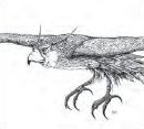
| 07:12, 20. Apr. 2012 | Donnervogel.jpg (Datei) |  |
4 KB | 2 | |
| 06:57, 20. Apr. 2012 | Weltkarte Overlay Meerjungfrau.png (Datei) |  |
23 KB | 3 | |
| 21:42, 19. Apr. 2012 | Weltkarte Overlay Kleiner Donnervogel.png (Datei) |  |
23 KB | {{Karteninfo |LIZENZ=[http://creativecommons.org/licenses/by-nc/3.0/ Creative Commons Attribution-Noncommercial Unported 3.0] |AUSSCHNITT=180° westl. Laenge, 180° oestl. Laenge, 90° suedl. Breite, 90° noerdl. Breite |PROJEKTION=Robinson-Projektion |QU | 1 |
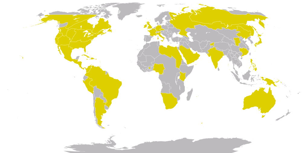
| 21:27, 19. Apr. 2012 | Weltkarte Standard.png (Datei) |  |
118 KB | {{Karteninfo |LIZENZ=[http://creativecommons.org/licenses/by-nc/3.0/ Creative Commons Attribution-Noncommercial Unported 3.0] |AUSSCHNITT=180° westl. Laenge, 180° oestl. Laenge, 90° suedl. Breite, 90° noerdl. Breite |PROJEKTION=Robinson-Projektion |QU | 1 |
| 00:12, 18. Apr. 2012 | Weltkartenvorlage fuer Modifikation.svg (Datei) |  |
2,01 MB | {{Karteninfo |LIZENZ=[http://creativecommons.org/licenses/by-nc/3.0/ Creative Commons Attribution-Noncommercial Unported 3.0] |AUSSCHNITT=180° westl. Laenge, 180° oestl. Laenge, 90° suedl. Breite, 90° noerdl. Breite |PROJEKTION=Robinson-Projektion |QU | 1 |
| 19:06, 16. Apr. 2012 | Uebersicht Sixth World Almanac Abdeckung.png (Datei) |  |
127 KB | Azania fehlte | 2 |
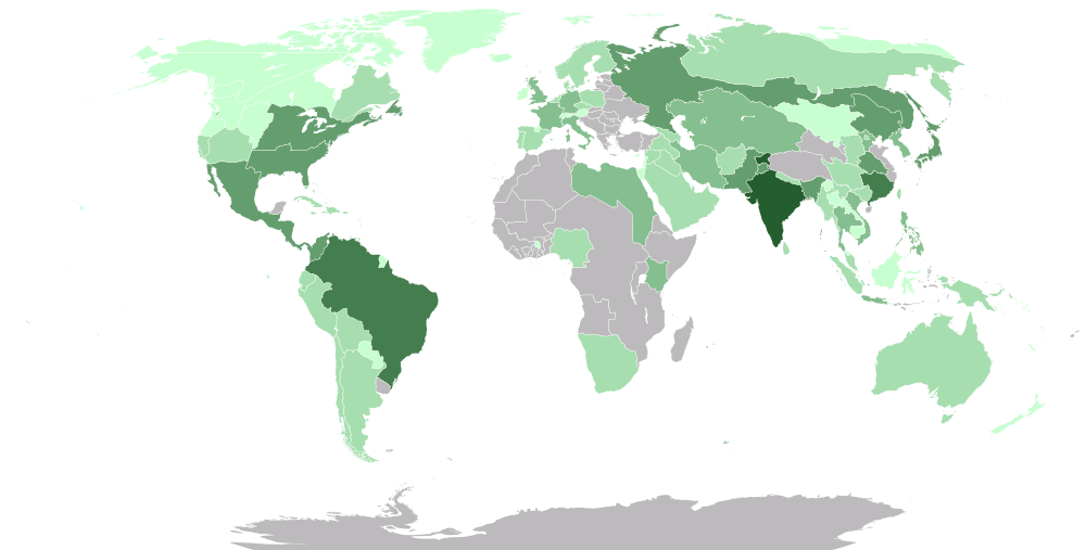
| 23:15, 14. Apr. 2012 | Weltkarte Bevölkerung.png (Datei) |  |
126 KB | {{Karteninfo |LIZENZ=[http://creativecommons.org/licenses/by-nc/3.0/ Creative Commons Attribution-Noncommercial Unported 3.0] |AUSSCHNITT=180° westl. Laenge, 180° oestl. Laenge, 90° suedl. Breite, 90° noerdl. Breite |PROJEKTION=Robinson-Projektion |QU | 1 |
| 12:28, 9. Apr. 2012 | Overlay Großbritannien Wild.png (Datei) |  |
17 KB | {{Karteninfo |LIZENZ=Public Domain |BESCHREIBUNG=Overlay: Großbritannien - Wild Ley-Linie (gehört zu GeoPositionskarte Großbritannien.svg) }} Kategorie:!Bilder/Public Domain [[Kategorie:!Bilder/Kart | 1 |
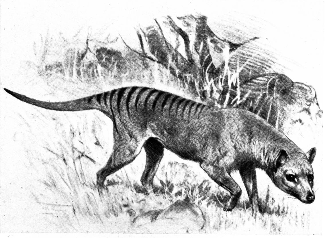
| 10:29, 9. Apr. 2012 | Tasmanischer Tiger.jpg (Datei) |  |
183 KB | {{Bildinfo |LIZENZ=Public Domain (Urheberrechte abgelaufen) |URHEBER=[https://de.wikipedia.org/wiki/Friedrich_Wilhelm_Kuhnert Friedrich Wilhelm Kuhnert] |QUELLE=[https://commons.wikimedia.org/wiki/File:Beutelwolf-drawing.jpg Wikimedia Commons] |BESCHREIBU | 1 |
| 22:31, 8. Apr. 2012 | Overlay Großbritannien Scythe.png (Datei) |  |
9 KB | {{Karteninfo |LIZENZ=Public Domain |BESCHREIBUNG=Overlay: Großbritannien - Scythe Ley-Linie (gehört zu GeoPositionskarte Großbritannien.svg) }} Kategorie:!Bilder/Public Domain [[Kategorie:!Bilder/Ka | 1 |
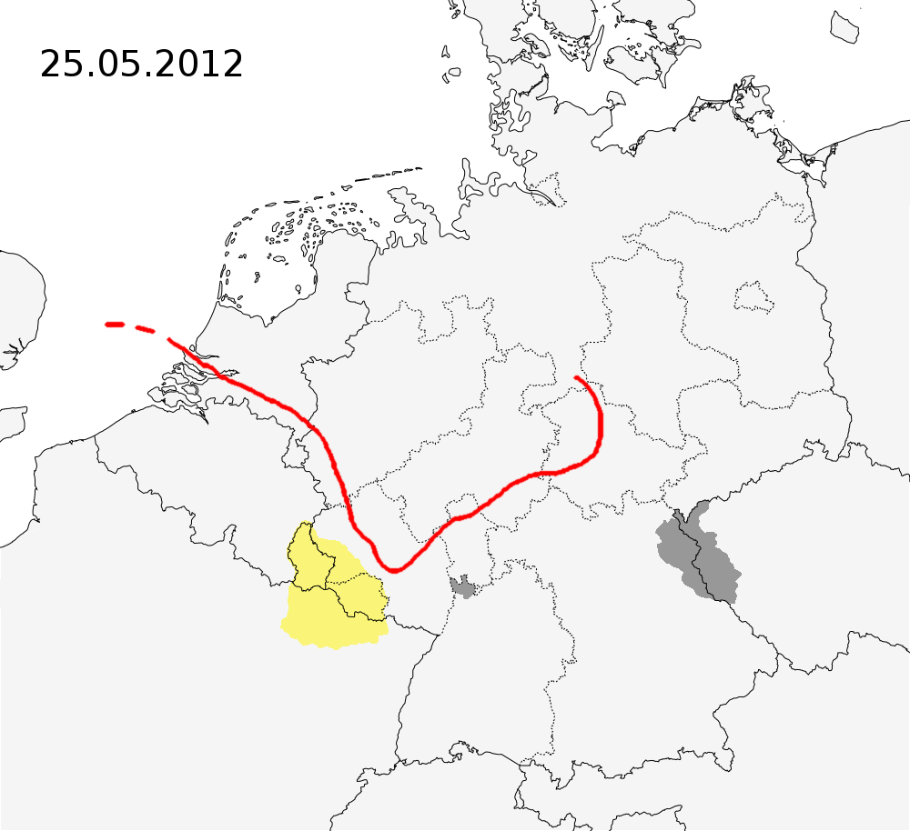
| 21:52, 8. Apr. 2012 | Karte Flug von Feuerschwinge.png (Datei) |  |
198 KB | 2 | |
| 21:12, 8. Apr. 2012 | Overlay Großbritannien May.png (Datei) |  |
13 KB | {{Karteninfo |LIZENZ=Public Domain |BESCHREIBUNG=Overlay: Großbritannien - May Ley-Linie (gehört zu GeoPositionskarte Großbritannien.svg) }} Kategorie:!Bilder/Public Domain [[Kategorie:!Bilder/Karte | 1 |
| 20:56, 8. Apr. 2012 | Overlay Großbritannien Royal.png (Datei) |  |
11 KB | {{Karteninfo |LIZENZ=Public Domain |BESCHREIBUNG=Overlay: Großbritannien - Royal Ley-Linie (gehört zu GeoPositionskarte Großbritannien.svg) }} Kategorie:!Bilder/Public Domain [[Kategorie:!Bilder/Kar | 1 |
| 16:47, 8. Apr. 2012 | Overlay Großbritannien Stalker.png (Datei) |  |
12 KB | 2 | |
| 16:47, 8. Apr. 2012 | Overlay Großbritannien Stonehenge.png (Datei) |  |
9 KB | 2 | |
| 14:13, 8. Apr. 2012 | Tasmanischer Tiger.png (Datei) |  |
135 KB | {{Bildinfo |LIZENZ=Public Domain |URHEBER=Benjamin A. Sheppard |QUELLE=[http://commons.wikimedia.org/wiki/File:Tasmanian_wolf.jpg Wikimedia Commons] |BEARBEITUNG=koloriert, verkleinert |BESCHREIBUNG=Bild Tasmanischer Tiger }} [[Kategorie:!Bilder/Public D | 1 |
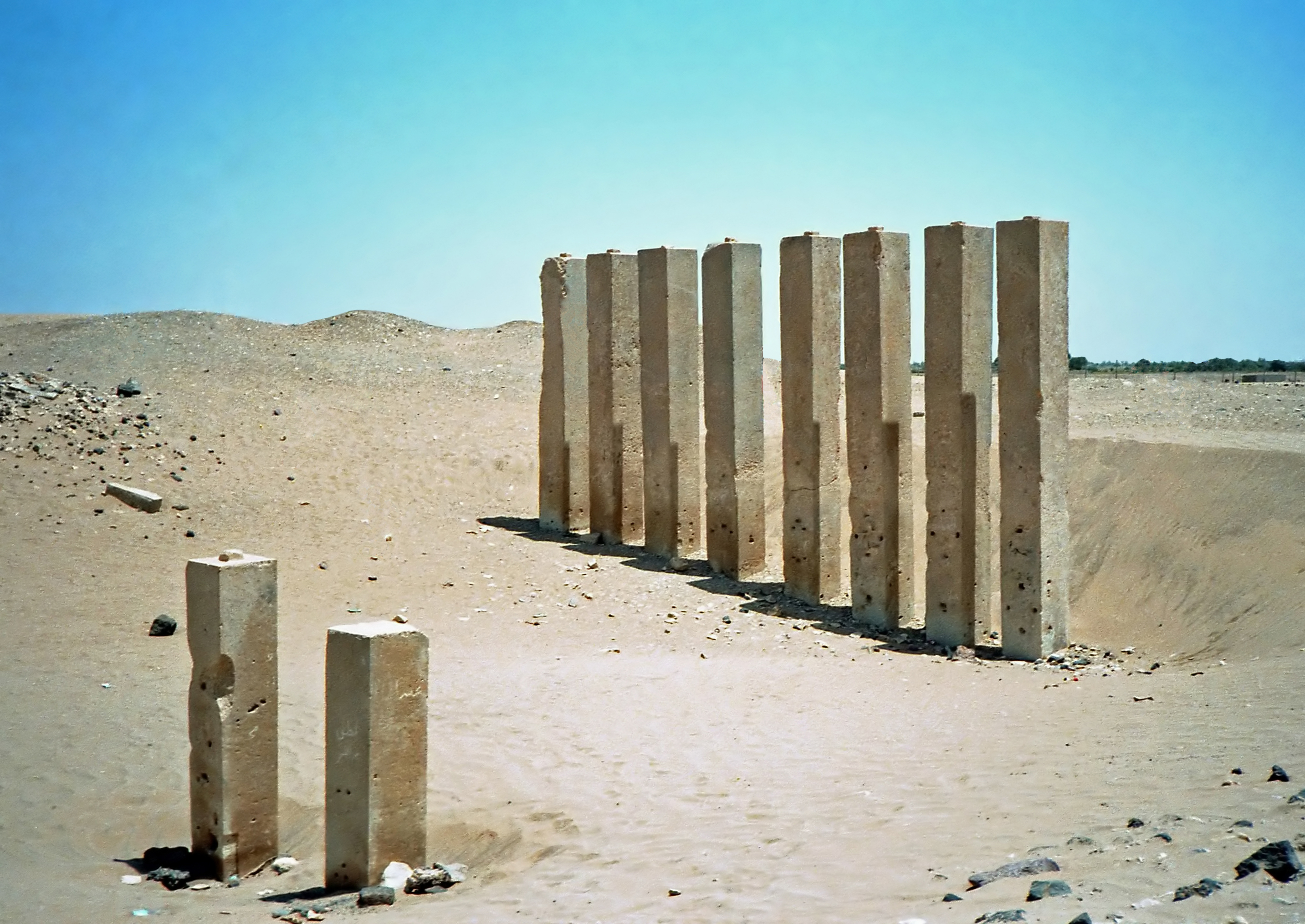
| 12:50, 8. Apr. 2012 | Location Mahram Bilqis.jpg (Datei) |  |
2,72 MB | {{Bildinfo |LIZENZ=[http://www.gnu.org/copyleft/fdl.html GNU Free Documentation License] |URHEBER=[https://commons.wikimedia.org/wiki/User:Bgag Bernard Gagnon] |QUELLE=[https://commons.wikimedia.org/wiki/File:Bar'an_temple_1986-2.jpg Wikimedia Commons] |B | 1 |
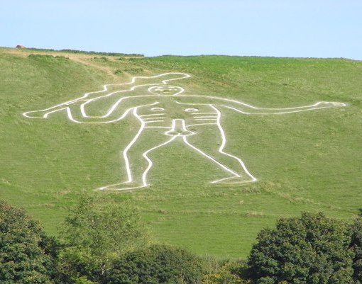
| 12:35, 8. Apr. 2012 | Location Cerne Abbas Giant.jpg (Datei) |  |
52 KB | {{Bildinfo |LIZENZ=[https://creativecommons.org/licenses/by-sa/2.0/deed.en Creative Commons Attribution-Share Alike 2.0 Generic] |URHEBER=[http://www.geograph.org.uk/profile/4171 Maurice D Budden] |QUELLE=[https://commons.wikimedia.org/wiki/File:Cerne_Abb | 1 |
| 20:31, 7. Apr. 2012 | Location Glastonbury Tor.jpg (Datei) |  |
128 KB | {{Bildinfo |LIZENZ=[http://www.gnu.org/copyleft/fdl.html GNU Free Documentation License] |URHEBER=[https://en.wikipedia.org/wiki/User:Necrothesp Wikipedia-Nutzer Necrothesp] |QUELLE=[https://commons.wikimedia.org/wiki/File:Glastonbury_Tor.jpg Wikimedia Co | 1 |
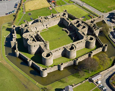
| 20:09, 7. Apr. 2012 | Location Beaumaris Castle.jpg (Datei) |  |
62 KB | {{Bildinfo |LIZENZ=[http://www.nationalarchives.gov.uk/doc/open-government-licence/ Open Government Licence] |AUTOR=Cadw |QUELLE=[https://commons.wikimedia.org/wiki/File:Beaumaris_aerial.jpg Wikimedia Commons]: [http://cadw.wales.gov.uk/daysout/beaumaris- | 1 |
| 08:58, 7. Apr. 2012 | Haab-Monat-Zec farbig.png (Datei) |  |
30 KB | {{Bildinfo |LIZENZ=[http://creativecommons.org/licenses/by-sa/2.0/ Creative Commons Attribution-ShareAlike 2.0 Generic] |URHEBER=Fotografie: [http://www.flickr.com/photos/theilr/ Flickr-User theilr], Lineart-Version: Loki |QUELLE=Grundla | 1 |